
Coring operations are taking place mostly during daylight hours, with the ship running overnight survey transits. An echo sounder mounted to the bottom of the ship sends a 3.5kHz ping and records the return, producing sub-bottom profiles. These images typically show the types of sediments 20-50 meters below the ocean floor, and can capture up to 100 meters under certain conditions. The ping is a loud chirping noise easily heard from the lower levels of the ship, and the time between pings decreases in shallow water, when the reflected noise returns quicker.
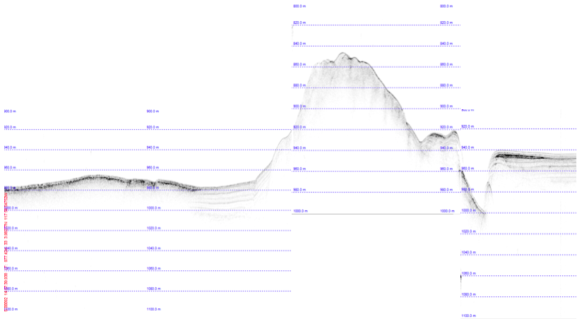
Sub-bottom profile produced by the ship’s echo sounder.
The plot above shows the profile produced by that ping data. The seafloor is represented by the top layer, and any lines or shading below shows sediment layers underneath. On the far left, the line is darker, indicating that the seafloor is sandy, so the signal reflects back strongly. Further along, as it fades and stratifies, the seafloor is muddy. Some of the signal reflects back, and some travels farther into the sediment and reflects back from other layers. In the middle, a hill rises up, bringing the seafloor shallower. Then it drops off into a channel. As the signal flattens out on the far right, the ship is slowing down and then stopping on station, giving a flat line as we hold position.
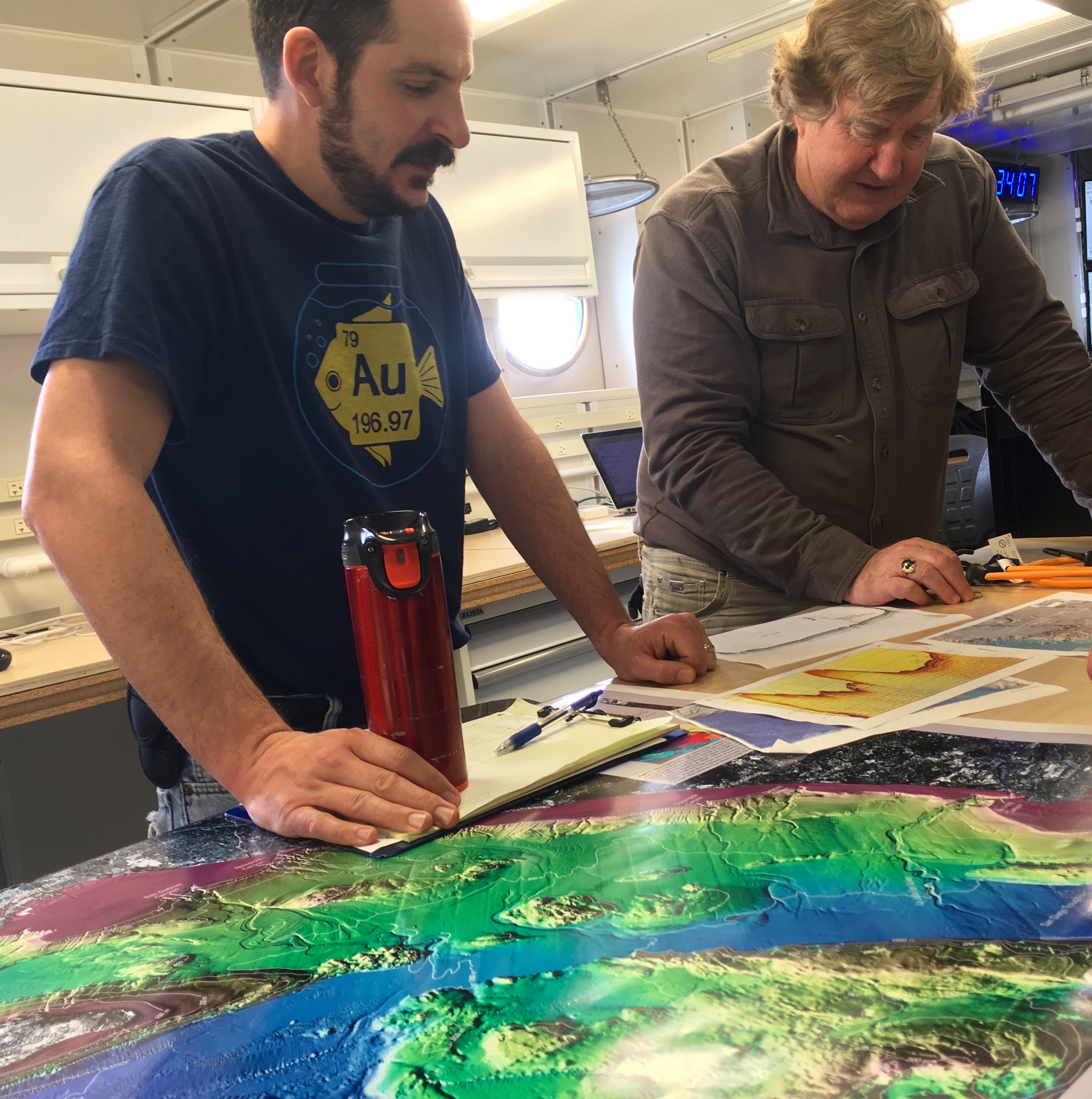
OSU Research Professor Mitch and USGS scientist
Jason use maps and data plots to pinpoint
locations for sampling.
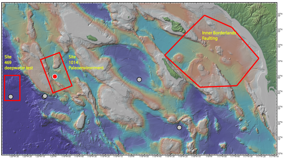
On this cruise, we’re collecting core samples in channels and along fault lines, but also in areas just outside of those features, in order to compare and contrast the sediment layers. The data from overnight surveys is reviewed each morning, and a determination is made about where to position the ship in order to collect sediment samples.
I’ve been sailing on research vessels for years and never really knew what this readout showed or how it was useful. It reminded me of ink wash paintings, with just the hint of trees and pagodas on the hilltops. Or, if I was hungry, it looked like a layered dessert. Thanks to this science verification cruise and conversations with Chief Scientist Mitch Lyle and others, it’s clear how valuable this grey-scale map of the seafloor is for coring operations by sediment scientists.
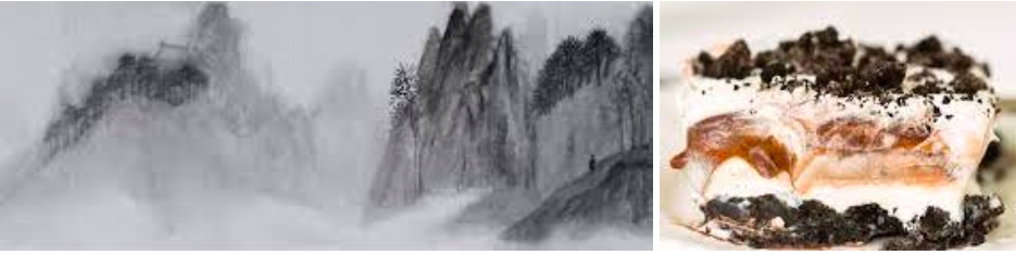
Chinese ink wash painting by Zhu Yamei and Oreo dessert by browneyedbaker.com